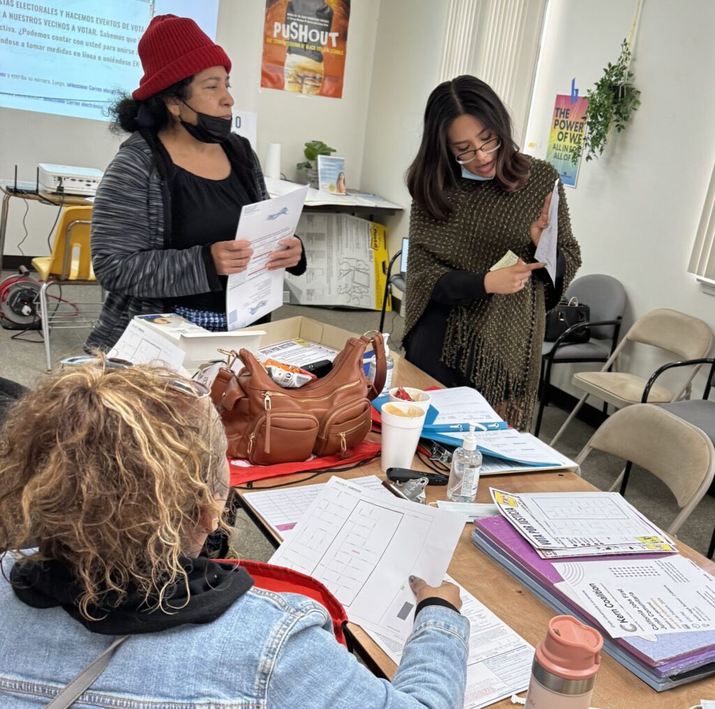
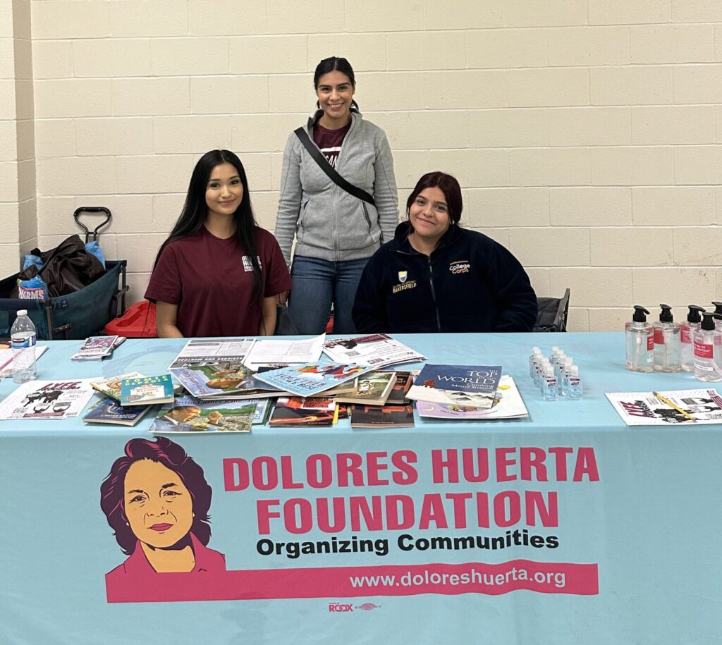
The Resource Center is dedicated to fostering social justice by providing equitable access to essential services, resources, and referrals for Vecinos Unidos (Neighbors United), youth, and community members in the disenfranchised areas of Arvin, Bakersfield, California City, Palmdale, Sanger, and Tulare. The centers promote economic security, legal and civil rights, and self-empowerment. Volunteers from local communities play a pivotal role through their engagement. They receive comprehensive training aimed at nurturing transferring employment skills and fostering leadership development, enabling them to actively contribute to advancing social justice in their communities.
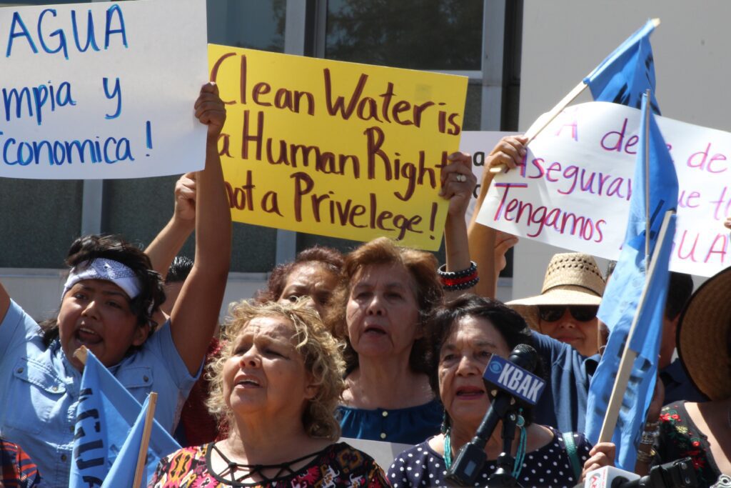
Through inclusive listening sessions, community members are empowered to voice their needs and concerns, ensuring that services are tailored to meet the unique challenges faced by each community. The Resource Centers can address systemic barriers and deliver impactful solutions to address community needs by forming strategic partnerships with local organizations, legal agencies, and healthcare providers.
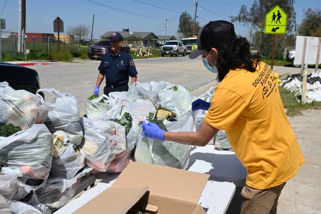
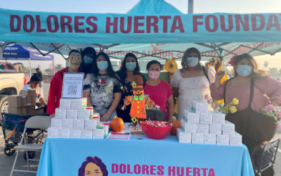
Examples of referrals include education and outreach for enrollment in healthcare programs regardless of immigration status, providing access to job training programs, connections to housing assistance, and delivering citizenship classes. Additionally, efforts during the 2020 COVID-19 pandemic underscored the program’s commitment to responding to immediate crises, with over 95,000 families served and half a million pounds of food distributed through coordinated food banks in Antelope Valley and across the region.
Patricia Llerena “Pati,” a community member from Lamont, in Kern County, California, expressed gratitude that someone took the time to listen to her story and hear her concerns. DHF Resource Center Director Gaby Fernandez says, “We need to take the time to understand their situation and determine which security nets will help because sometimes there are multiple layers of need.”